Points of Interest
Ajusco Peaks National Park
Parque Nacional Cumbres del Ajusco Mexico City, Mexico
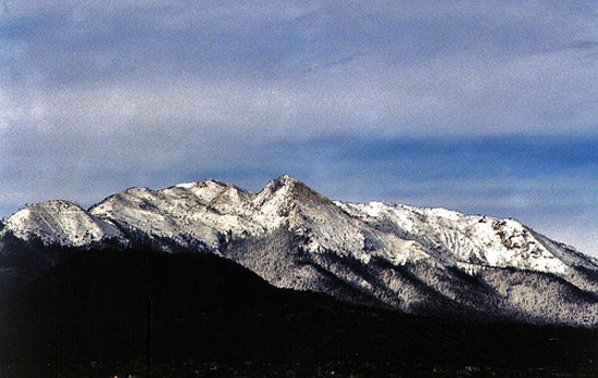
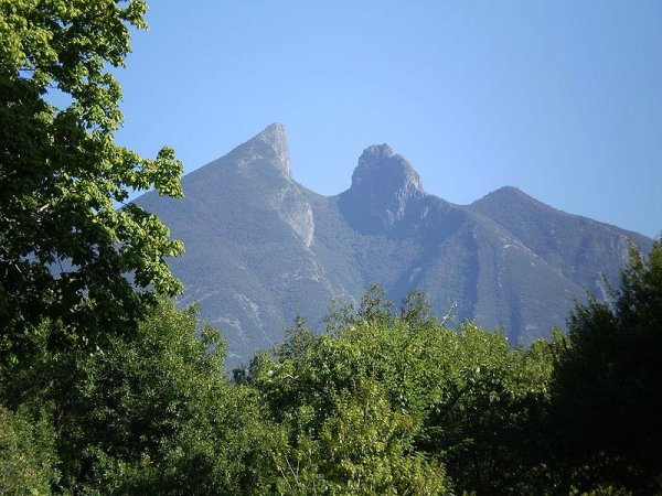
Encompassing 907 hectares (2,240 acres), Ajusco Peaks National Park includes about 5 percent of the Federal District. It contains four mountains taller than 3,700 meters (12,000 feet), with the extinct volcano Ajusco, also known as Cruz del Marqués, the tallest at 3,937 m (12,916 ft). Ajusco is a Náhuatl (Aztec) word meaning "watered grove," and the mountains are covered with lush green forests. The Parque Ejidal San Nicola Totolapan (Communal Park San Nicola Totolapan), held within the larger park, includes many established hiking and mountain biking trails. You can rent mountain bikes at the park entrance.
Beach of the Dead
Playa Los Muertos Zona Romantica
Puerto Vallarta, Mexico
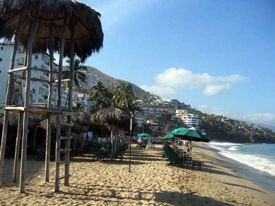
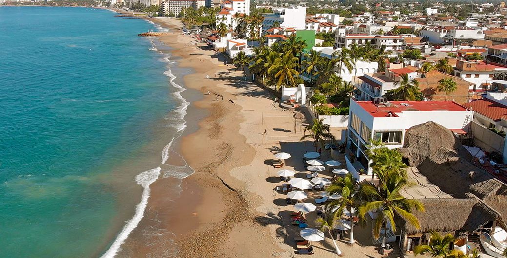
There are several versions of how Playa Los Muertos got its name, but whatever the truth, this beach is anything but dead. Far and away the city's most popular beach for tourists and locals alike, it's busy every day but absolutely packed on weekends. If you're looking for peace and quiet, don't come here. Vendors ply the sand continuously, and restaurants with beach seating line the entire stretch from the Rio Cuale south. You'll have to buy at least a beverage to sit in one of the lounge chairs.
Beautiful Beach
Playa Linda Kilometer 4 Kulkulcan Boulevard
Cancún, Mexico
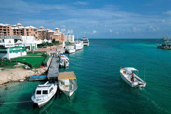
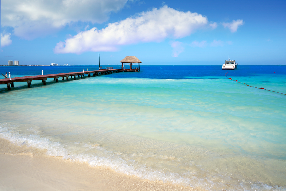
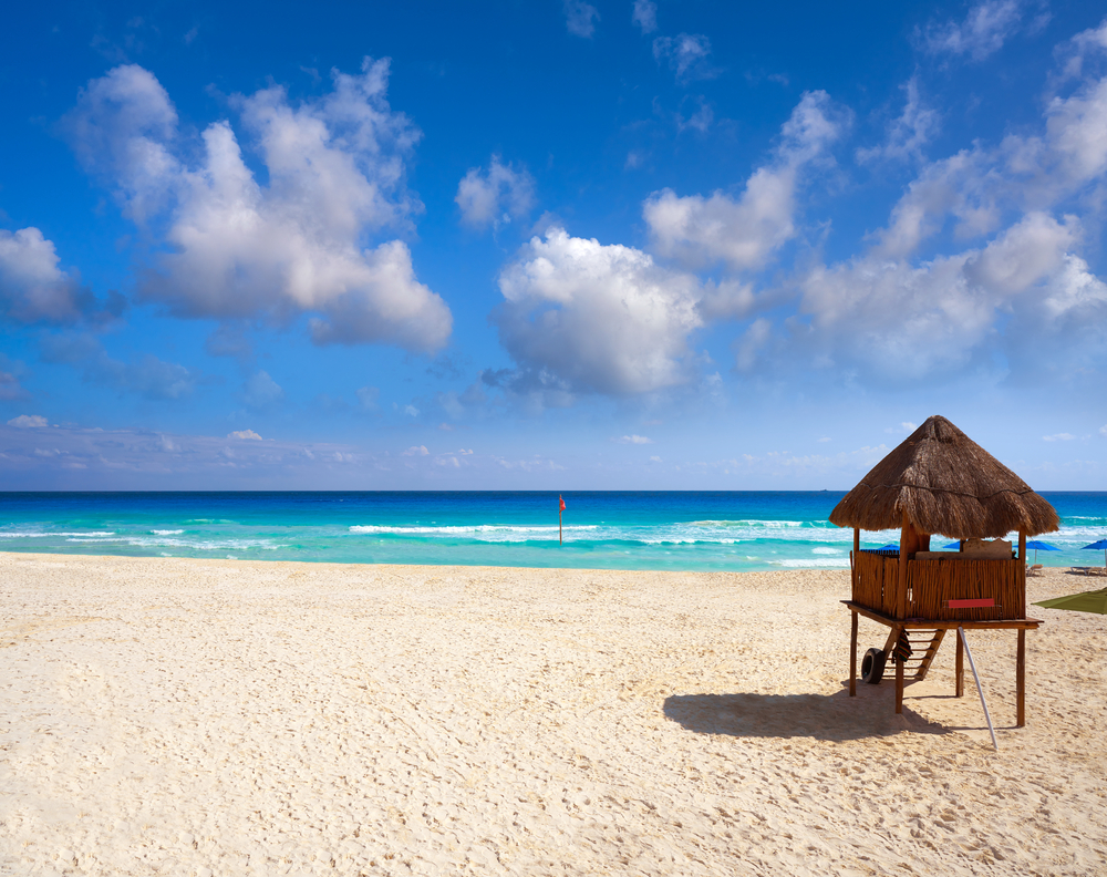
Located on the east side of the Nichupte Channel, which divides the Zona Hotelera from the mainland as it connects the Nichupte Lagoon with the Caribbean Sea, Playa Linda is where ferries to Isla Mujeres are encountered. Although the beach itself is not safe for swimming, several fine restaurants-as well as a 91-meter-high (300-feet-high) rotating tower that offers fantastic views of the Cancún area keep Playa Linda busy.
Bishopric Lookout
Mirador del Obispado Rafael José Vergel Col. Obispado
Monterrey, Mexico
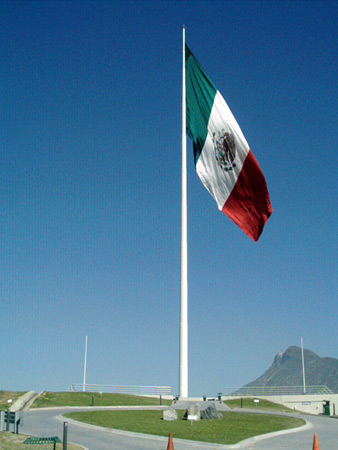
Bishopric Lookout, on top of the Cerro del Obispado (Bishopric Hill), was named for a bishop's retirement home that was built there in the 18th century. The largest Mexican flag in the country crowns the hill, along with a 40-meter-long (131-foot-long) walking path. The 50-meter-wide by 29-meter-tall (164 by 95 ft) flag weighs 230 kilograms (507 pounds), and the flagpole weighs 120 metric tons (132 US tons) and stands 100 meters (328 ft) tall. Unfortunately, the flag is not usually displayed on windy days because it tears easily and repairs are costly. The walking path winds around the top of the hill and is suitable for families or large groups. Tourists who visit on special holidays like Flag Day, on February 24, or Independence Day, on September 16, will be treated to fireworks and live performances.
Bosque de la Primavera
Avenida Vallarta No. 6503 Ciudad Granja
Zapopan, Guadalajara, Mexico
This vast natural landscape stands unusually close to the heart of a major urban metropolis. Often referred to as the lungs of the city, the park encompasses 36,229 hectares (89,485 acres) of unspoiled pine and oak forest. The unprepossessing dirt road leading into the park opens up to a grand panorama of tree-covered hills lined with hiking trails.
Cabo Pulmo National Marine Park
Parque Nacional de Marino Cabo Pulmo Kilometer 31 Highway 1
San José del Cabo, Mexico
Nature lovers should place Parque Marino Cabo Pulmo on Cabo del Este (East Cape) high on their can't-miss list. Protected since 1993, this area boasts the only living coral reef on the West Coast of North America. Its clear waters make this park an ideal spot for scuba diving and snorkeling. Kids can explore old pirate ships, swim with dolphins, or build the perfect sandcastle on shore. Arrive at the preserve by kayak to get up close and personal with the resident sea lion colony. January through March, whales can also be spotted offshore.
Calakmul Biosphere Reserve
Reserva de la Biosfera Calakmul Base of the Yucatan Peninsula Calakmul
24000 Campeche, Mexico
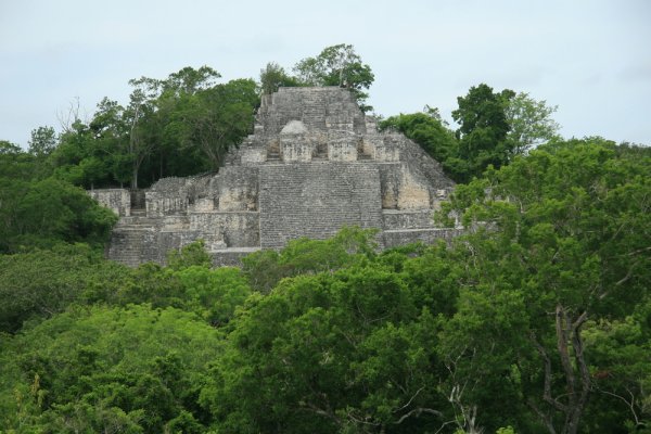
Located at the base of the Yucatan Peninsula, the Calakmul is the largest forest reserve in Mexico and protects 52 local communities (almost 23,740 inhabitants) in its buffer zone. The reserve covers an area of nearly 728,434 hectares (1.8 million acres) comprising evergreen tropical, deciduous, and thorn forests. The forests protect a healthy population of jaguars and other cats like jaguarundis (a medium-sized wild cat) and ocelots. The fauna also includes agouti, spider monkeys, howler monkeys, tapir, coatis, turkeys, guans, toucans, and green parrots. The archeological site of Calakmul, an important center of the Mayan civilization, is located in this biosphere reserve. The reserve also provides an agro-forestry program to help farmers and reduce indiscriminate logging.
Chankanaab National Park
Parque Chankanaab Carr. Costera Sur Km 9.5 Zona Hotelera Sur
77600 Cozumel, Mexico
This national park was established in 1980 to protect the ecosystems of the western coast of the island of Cozumel. The developed area of the park includes a botanical garden with more than 350 species of flora. The park is a perfect bird watching spot, and visitors may chance upon dinosaur-like iguanas sunning themselves on the rocks. Replicas of stone sculptures representing the ancient cultures of Mexico are displayed in the gardens. The park has a natural aquarium and offers facilities for scuba diving and snorkeling. Large schools of fish, dolphins, mollusks, crustaceans, corals, exuberant flora, and an extensive system of underwater caves are all a part of the oceanic landscape of Chankanaab.
Colomos Woods Park
Parque Bosque Los Colomos El Chaco #3200 Providencia
Guadalajara, Mexico
Less obviously landscaped than Parque Agua Azul, Bosque Los Colomos offers visitors the chance to experience a bit of natural forest in the heart of the city. Jogging, hiking, and horseback-riding trails cross the park, with horses available for rent. Novice riders can even take a quick lesson before setting off. Whichever way you choose to tour the park, don't miss the Japanese garden donated by Guadalajara's sister city, Kyoto, Japan, or the Castillo (Castle), a small cultural center.
Costa Azul Beach
Playa Costa Azul San José del Cabo, Mexico
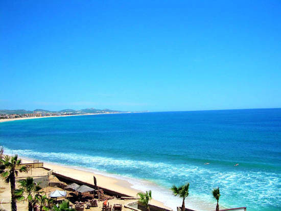
The crowds flock to Playa Costa Azul every day of the week. Located in a neighborhood filled with resort condos, this is an easy and safe tourist destination. Visitors wishing to swim will find this to be the best place within the San José del Cabo city limits. This beach's breaks also beckon to surfers: at the west end of this long white beach, you will find a swarm of wave-hungry riders just waiting for that perfect set.
Cuale River Island
Isla Rio Cuale Central Puerto Vallarta, Mexico
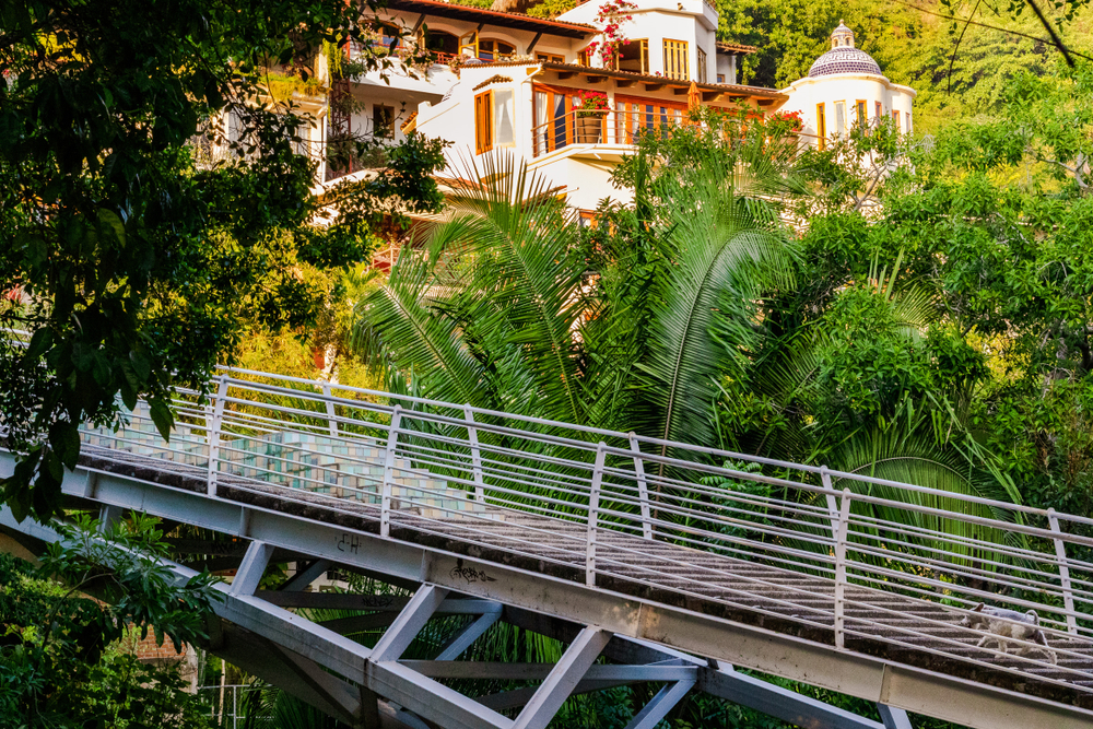
Who would’ve thought there’d be an island in the midst of urban Puerto Vallarta? Your family will enjoy the novelty of this fact, as Isla Río Cuale is an island within an inlet of Banderas Bay. There are trails through the lush, jungle-like area to explore, complete with parrots and iguanas. A cultural center is worth stopping into as well and offers classes in sculpture and painting. There are spots to sit and rest as well as restaurants, cafés, bars, and a tequila distillery to visit. Several vendor stalls and a craft market sell various goods that make great souvenirs. Reach the island by walking south from the Malecón until you reach a bridge spanning the river. In total, there are three hanging bridges that connect the north and south sides of downtown Puerto Vallarta to the island.
Desert of the Lions National Park
Parque Nacional Desierto de los Leones Mexico City, Mexico
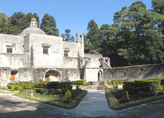
Located in the Sierra de las Cruces mountain range, this 1,867-hectare (4,613-acre) park accounts for about 15 percent of the Distrito Federal. Originally a religious retreat for a group of Carmelite monks, a Carmelite monastery built in the early 1700s lies in the park's center. The oldest protected biosphere in Mexico, the park was declared a forest reserve in 1876. It holds large swaths of pine forest, along with stands of fir and oak. The name comes not from the geography but from the absence of human habitation at the time the original monastery was built in 1611. Lack of maintenance and urban encroachment, including illegal logging, garbage dumping, and off-trail mountain biking, have led to deterioration of many areas within the park.
Dolphin Beach
Playa Delfines Kilometer 17 Kulkulcan Boulevard
Cancún, Mexico
The only beach in the Zona Hotelera with a public car park, Playa Delfines is popular with local families and is close to the nearby El Rey Mayan ruins. The beach also provides excellent views of the Caribbean Sea from its sandy hillocks, although the beach sand itself is not as white or fine as beaches to the north. Playa Delfines is one of the more popular beaches in the Cancún area with surfers due to the occasional big wave breaks.
El Vizcaino Biosphere Reserve
Municipality of Mulege
Baja California, Mexico
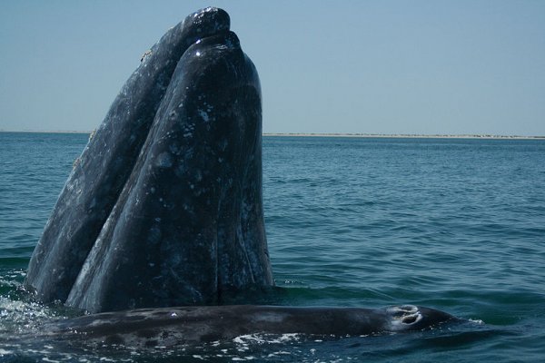
El Vizcaino Biosphere Reserve is the largest protected area in Mexico. The rich biodiversity is reflected in the more than 300 terrestrial and marine vertebrates and over 450 flora species. In addition to desert and wetlands, the reserve contains more than 200 caves with paintings and petroglyphs. The whale sanctuary on the Pacific coast comprises two lagoons, the Ojo de Liebre and San Ignacio, which are the main mating and breeding grounds of gray whales. Every year, the whales follow the world's longest migratory route of nearly 22,000 kilometers (about 14,000 miles), a round-trip from the Pacific Northwest waters to the Mexican lagoons.
Estanzuela Nature Reserve
Parque Natural La Estanzuela Highway No. 85 Entronque a Valle Alto
Monterrey, Mexico
A hike through Estanzuela Nature Reserve, located about 20 minutes outside downtown Monterrey, is a great way to see beautiful waterfalls, colorful birds, and tranquil nature without the hassle of camping. A river flows through the park, and there are several water holes. It isn't unusual to see a variety of species of butterflies and birds along the paved trail that dips into the park's canyon, either. Look out for the red-necked picogordo, the chipe, and the blue-crowned momotos, since these birds are only found in this area. Many other species of birds pass through on their migratory journeys south, and this makes the nature reserve a popular spot for bird watchers. The trail is 3 kilometers (2 miles) long. The park is open daily, and admission is free.
Flying Fish Beach
Playa Pez Volador Kilometer 5.5 Kulkulcan Boulevard
Cancún, Mexico
Located just underneath the huge rolling Mexican flag atop the bridge between downtown Cancún and the Zona Hotelera, Playa Pez Volador is a favorite with locals and tourists alike. The wide sands and calm surf also bring out families with children, who play in the relatively safe shallows.
Garcia Caves
Grutas de García Carretera a Villa de García S/N
García, Nuevo León, Mexico
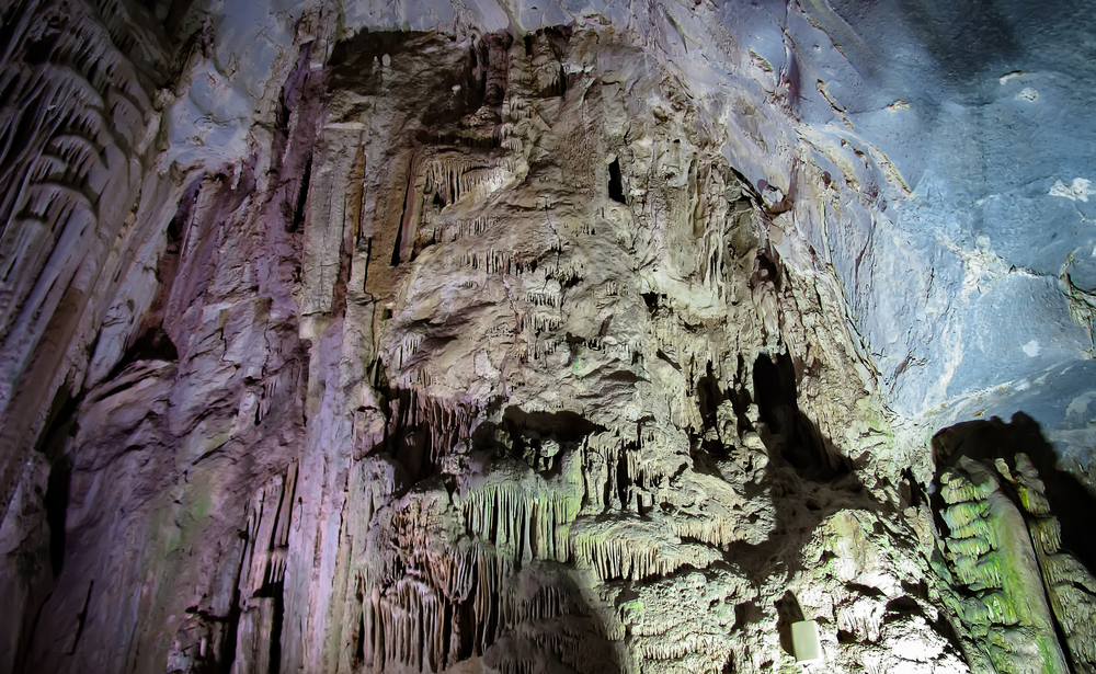
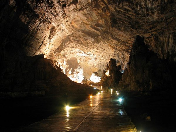
One of the biggest cave systems in Mexico, Garcia Caves is a network of caverns featuring towering stalactites and stalagmites. The whole family should enjoy the more than 200-meter (656-foot) ride up El Fraile Mountain via an aerial tramway to reach the site and the stunning views of the area seen along the way. The caves run for 3.5 kilometers (2.1 miles) inside the mountain, full of chambers and areas where light filters in to illuminate the rock formations. See The Eighth Wonder, a column created from a stalactite and stalagmite that grew together. The caves can be toured along two paths, one is 2.5 km (1.5 mi) long and includes 16 chambers while the 1-km (0.62-mi) route has 11 chambers. Cave tours last 45 minutes with visits to the cave museum and historical center. Find this natural wonder 30 km (18 mi) northwest of Monterrey.
Gravity Hill
Colina Gravitacional 225 Cima del Sol
León, Mexico
If a driver stops along Cima del Sol Street, about 30.5 meters (100 feet) before Campestre Boulevard, and puts their vehicle in neutral they will be amazed to appear rolling uphill. This phenomenon is actually an optical illusion caused by visual cues in the surrounding landscape. Bring some water or a ball and place it on the hill’s pavement to watch it mysteriously defy gravity, rolling up rather than down.
Grutas de García
Parque Grutas de Garcia S/N Carretera a Villa de García
Nuevo Leon, Mexico
Grutas de García is one of the most beautiful cave systems in Mexico. Formed about 50 million years ago, these caves were discovered by a parish priest in 1843. The parking lot is located 700 meters (2,300 feet) below the caves, and visitors reach the entrance by a funicular (although there is a paved path for the hardier souls). The cave system has 16 chambers that can be toured through an illuminated 2.5-kilometer-long (1.5-mile-long) route and offers spectacular views of stalactites and stalagmites. An interesting feature of the caves is a big rock face showing fossilized plants. Fossils of seashells also are found here.
Gulf of California
Golfo de California Between Baja California Peninsula and mainland Mexico
The Gulf of California, or the Sea of Cortés, is a narrow body of water separating the Baja California Peninsula from the mainland of Mexico, and includes about 244 islands. Comprising a rich ecosystem, the gulf is called a natural laboratory for the study of the evolution of new species. The sea protects many migratory and endangered species, like humpback whales, gray whales, manta rays, and leatherback sea turtles. The area is important for commercial fishing and provides the lion’s share of Mexico’s marine resources, notably sardines and anchovies. However, overfishing and water pollution have become a threat to the gulf ecosystem.
Ixcatán Geysers
Kilometer 26 Carretera Guadalajara-Saltillo
Guadalajara, Mexico
At Géiseres de Ixcatán spectacular geothermic fountains shoot 5 meters (16 feet) into the air and geysers erupt from the banks of a meandering stream with a 9-meter-high (30-foot-high) waterfall. The natural beauty and several informal picnic areas make for a pleasant day's outing. Visit the nearby town of Ixcatán to catch a glimpse of rural Mexican life, in which families gather in the town plaza, regular church processions occur, and donkeys remain a common form of transportation.
Izta-Popo Zoquiapan National Park
Parque Nacional Izta-Popo Zoquiapan Convergence of the states of México, Puebla, and Morelos
Mexico City, Mexico
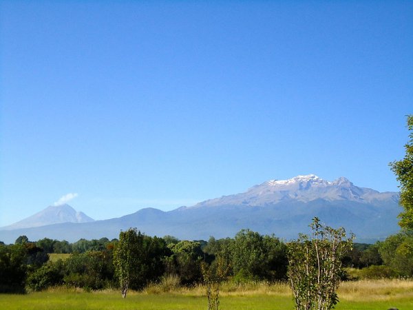
Established in 1935, this park holds Mexico's second- and third-tallest mountains: Popocatépetl, an active volcano rising 5,426 meters (17,802 feet); and Iztaccíhuatl, a four-peaked volcano rising 5,230 meters (17,159 ft). Originally two parks, the 25,679-hectare (63,454-acre) Izta-Popo and 19,418-hectare (47983-acre) Zoquiapan, the park is located in the Sierra Madre mountain ranges. More than a dozen municipalities are located within the park.
La Huasteca Ecological Park
Next to the start of the Monterrey-Saltillo toll road at the corner of Benito Juárez and Lic. Raúl Caballero streets
Miguel Hidalgo, Santa Catarina, Nuevo León, Mexico
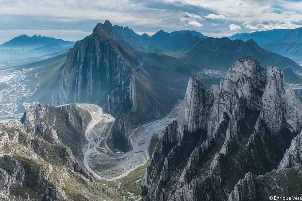
Bring your active family members to this park about 20 minutes from Monterrey to rock climb, hike, or mountain bike. There are designated climbing and biking routes through stunning scenery. Part of Cumbres de Monterrey National Park, La Huasteca is a UNESCO biosphere reserve. La Huasteca's long and rocky walls are part of what is known as “The Curvature of Monterrey” from the Sierra Madre Oriental, a mountain range in northeastern Mexico. The park is located in a natural crack where the Santa Catarina river empties from the Sierra Madre Oriental. What's most interesting are the limestone walls, which a million years ago, were pure sediment from the bottom of the seas and now rise vertically as folded rocks and silver beds crowned by pointed peaks and sharp ridges that reach heights of more than 550 meters (1,804 feet).
—Information provided by La Huasteca Ecological Park
La Playita
The Little Beach San José del Cabo, Mexico
Located east of both San José del Playa and Playa Estero (Estuary Beach) is La Playita, also known as Pueblo la Playa. Not particularly good for swimming, La Playita still draws numerous visitors due to its local feel-you can watch the local fishermen bringing in their daily bounty from these shores. Furthermore, San José del Cabo's panga fleet, a group of small seafaring vessels used by commercial fishermen, often launches from here.
Land’s End
Tip of Baja Peninsula
San José del Cabo, Mexico
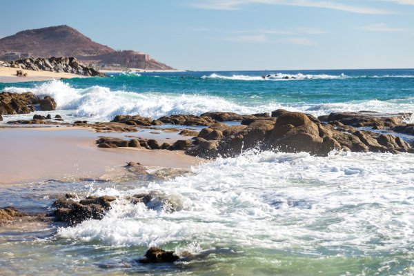
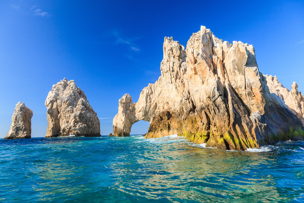
Land’s End refers to the very tip of the Baja Peninsula. Its most famous landmark, El Arco is a natural arch carved from limestone rock over time by wind and water. Those wanting an up-close look can walk and swim their way to the arch or take a personal boat or water taxi. According to locals, about every four years changes in the tide cause a beach to emerge under the arch.
Lobster Beach
Playa Langosta Kilometer 5 Kukulcan Boulevard
Cancún. Mexico
Facing north and protected from sea waves by a jetty to the east, this small but popular beach features calm, crystal-clear waters perfect for swimming. A floating dock makes for relaxing sunbathing, as you are gently rocked by the Caribbean; and a variety of vendors and stands sell all the beachfront essentials, including ice cream and beer.
Los Arcos
Bahía de Banderas
Puerto Vallarta, Mexico
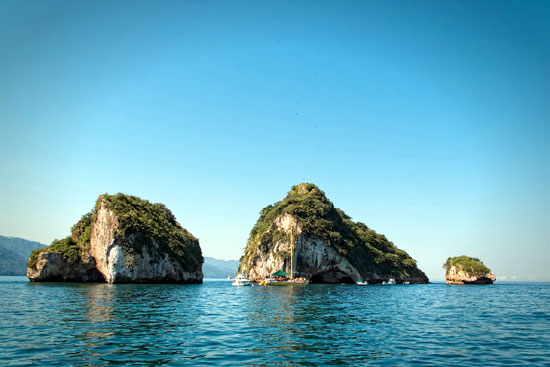
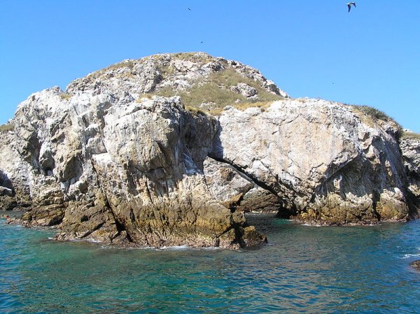
The pre-eminent natural landmark of Puerto Vallarta, Los Arcos is a natural rock formation off the southeast shore of Banderas Bay between Mismaloya and Boca de Tomatlán. Each of the three main rocks has a small passageway that makes the rock look like an arch. Popular for snorkeling and diving expeditions, the surrounding area's usually clear waters provide exposure to a wide variety of marine life.
Majalca Peaks National Park
Parque Nacional Cumbres de Majalca Kilometer 27 Carretera Panamericana de Chihuahua a Cd. Juárez
Chihuahua, Mexico
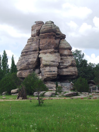
Created in 1939, Cumbres de Majalca encompasses 4,772 hectares (11,792 acres) of pine and oak forest. One of the few areas of Mexico inhabited by black bears, the park showcases extraordinary and somewhat otherworldly rock formations that have been shaped by wind and water erosion. Extremely popular with climbers and back country hikers and campers, the park has 53 kilometers (33 miles) of roads for hiking and mountain biking.
Mariettas Islands
Las Islas Mariettas Pacific Ocean Bahía de Banderas
Puerto Vallarta, Mexico
A favorite spot for snorkeling and skin diving because of its crystal clear waters, Las Marietas is a federally protected ecological zone. The islands' waters and shore are populated by a wide range of aquatic and amphibian species, including giant manta rays, sea turtles, dolphins, and whales. The islands themselves host numerous birds like blue-footed boobies, red-billed tropicbirds, and some of the world's last remaining green macaws.
Marlin Beach
Playa Marlin Kilometer 13 Kulkulcan Boulevard
Cancún Mexico
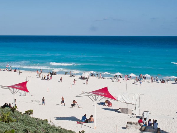
With ample powder-fine sugar sands and sparkling turquoise waters, Playa Marlin is one of Cancún's most popular and most packed beaches. The resorts that surround it are some of the most luxurious and upscale in town; most rent beach chairs and cabanas right on the beach.
Name of God Grottos
Grutas De Nombre De Dios Avendia Colegio Militar
Chihuahua, Mexico
This fascinating series of 17 linked caverns in the hills east of Centro were formed some five million years ago when the Chihuahuan Desert was an inland sea. In addition to stalagmites and stalactites that have been given informal names like Don Quixote, La Torre de Pisa (The Tower of Pisa), and El Aguila (The Eagle), the otherworldly caverns hold plant and animal fossils.
Nichupte Lagoon
Cancún, Mexico
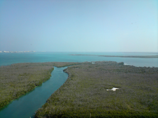
Located between the Zona Hotelera and mainland Cancún, the massive Nichupte Lagoon is an ecological treasure right in the heart of the city. Mangrove forests line the estuary that connects the lagoon to the Caribbean Sea, and protected coral reefs at the entrance teem with underwater life. The lagoon is best explored by small boat and by underwater snorkeling equipment, both of which are readily available for rental at many of the tour agencies in the Zona Hotelera.
Oblatos Canyon
Barranca de Oblatos Belisario Domínguez, Oblatos El Aguacate Zapotlanejo
Guadalajara, Mexico
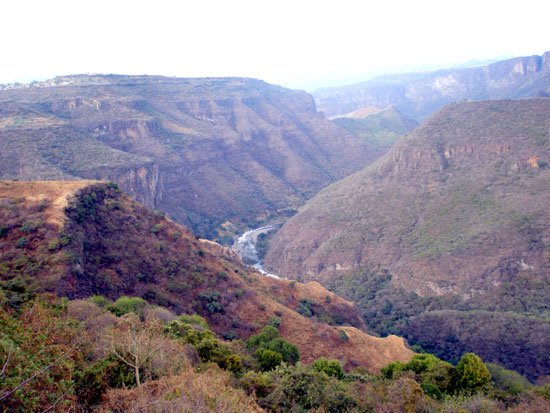
A 610-meter-deep (2,000-foot-deep) gorge on Santiago River, Oblatos Canyon offers spectacular viewing and hiking opportunities. Begin your exploration at the canyon rim in Parque Mirador Oblatos (Monks' Overlook Park), the starting point of a 4.5-kilometer (2.7-mi) cobblestone trail that leads down to the river and the Baños Termales de Oblatos (Oblatos Hot Springs). The trail descends past native plants and lookout points with views of Las Juntas hydroelectric dam and the Puente de Arcediano (Archdeacon's Bridge). You might find the climb down moderately challenging, while the climb back up is steep and arduous. Those in less-than-perfect physical condition might want to confine themselves to the view from above. Masses are sometimes held in a small chapel in the park.
Peaks of Monterrey National Park
Parque Nacional Cumbres de Monterrey Highway No. 85
Monterrey, Mexico
Peaks of Monterrey National Park encompasses 177,396 hectares (438,355 acres) of the northern part of the Sierra Madre Oriente and lies about a half-hour drive from downtown Monterrey. The visitors' center provides maps with hiking routes ranging from easy to difficult. The highest peak, Pinar, is 1,515 meters (4,970 feet.) above sea level. Along with breathtaking mountaintops, plunging canyons and clear rivers also cut through the park and create varied climates. Depending on elevation and variations in temperature, visitors will find desert, steppe, and oceanic ecosystems at different points in the park. The varied climate allows for a great range of flora and fauna. A process called karstification (erosion of soft bedrock) has created an incredible system of caves and underwater rivers in the park, including the Grutas de Garcia and Cerro de la Silla.
San José Estuary
Estero San José San José del Cabo, Mexico
Estero San José, San José del Cabo's estuary and bird sanctuary, is arguably one of the most beautiful natural wonders this region possesses (aside from those beaches, of course). The fresh waters of the Rio San José meet the salty waters of the Mar de Cortez here, creating a unique and abundant wildlife habitat. Nature lovers' hearts will swoon as they witness the flight of beautiful but noisy macaws, graceful white-winged doves, hummingbirds, vermillion flycatchers, and any of the more than 100 species of birds that thrive here. From this protected 125-acre estuary, located on the southeast edge of San José del Cabo, you might also get lucky enough to watch a pod of dolphins at play, spot a turtle coming up on shore, or marvel in any combination of the 350 species of life to be found here. You can reach the estuary by foot, on horseback, by ATV, or by kayak.
Shrimp Beach
Playa Camerones North Hotel Zone, 3 kilometers (1.8 miles) north of downtown
Puerto Vallarta, Mexico
Plan to spend the day here relaxing, playing in the waves, or just watching the various activities going on nearby. This beach was the first in the city to receive a playa limpia (clean beach) certification from the federal government. What that means for you and the kids is that it includes a lifeguard, trash bins—to keep it clean!—bathrooms, and handicap accessibility. It’s a great spot to whale watch in the winter, perhaps from a bar or restaurant next to the beach. Many locals come here to fish from shore, and various sporty activities can be accessed, from stand-up paddle boarding and parasailing to banana boat rides. Parents should know that there are unusual currents here despite what appear to be gentle waves.
Sian Ka'an
South of Tulum
Quintana Roo, Mexico
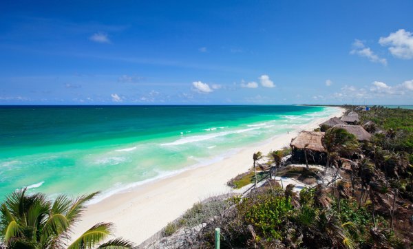
Sian Ka'an, meaning "where the sky is born," is a protected reserve stretching across the Yucatan peninsula and covering an area of approximately 530,000 hectares (1,309,659 acres). Partly on land and partly in the Caribbean Sea, the reserve contains tropical forests, mangroves, and marshes, as well as a large marine section with a barrier reef. The area exhibits a high degree of biodiversity and endemism. The forests were home to the ancient Mayan civilization, and evidence of this can be seen in the area's pyramids and cenotes (waterhole and place of worship). More than 300 species of birds, as well as a large number of terrestrial vertebrates, cohabit in this complex environment.
St. Elena Canyon National Park
Chihuahua, Mexico
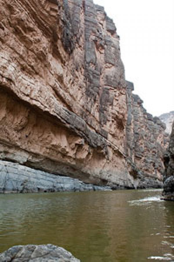
One of three adjacent parks 80 kilometers (50 miles) northeast of Chihuahua, Santa Elena is the most visited due to the fairly even terrain of its main trail. The trail follows a small river through a narrow 13-kilometer-long (8-mile-long) canyon whose walls rise some 300 to 460 meters (1,000 to 1,500 feet) on either side. The setting is spectacular, but the hiking is relatively easy. The other two parks are Parque Nacional Maderas del Carmen (Carmen's Woods National Park) and Parque Estado El Rancho Big Bend (Big Bend Ranch State Park).
Turtle Beach
Playa Tortugas Kilometer 6.5 Kulkulcan Boulevard
Cancún, Mexico
A deep-water beach that sports a narrow strip of fine white sands, Playa Tortugas is a favorite with kayakers, jet-skiers, and snorkelers. The beach is located right next to the Zona Hotelera's "City center," with all of its convenient eateries and services.
Whale Watching
Bahía de Banderas (Banderas Bay)
Puerto Vallarta, Mexico
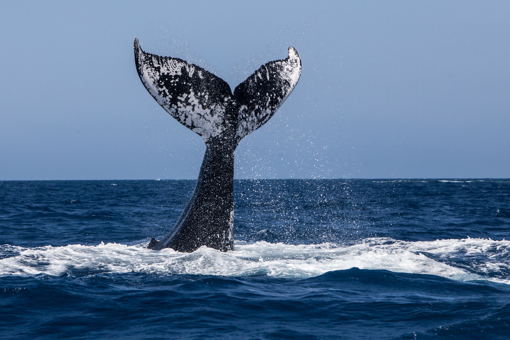
Skim the waves of Puerto Vallarta’s Banderas Bay seeking some of Earth’s largest creatures—whales. From December through March, and perhaps even earlier and later depending on water temperatures, humpback whales come to the area to mate, give birth, and raise their young. The gentle giants break through the water’s surface, called breaching, out of play and for exercise. The experience of seeing whales leaping and slapping the water with their fins is unlike any other. Several companies in Puerto Vallarta offer whale watching tours, most running for four hours at a time. Some have underwater microphones that capture the songs of whales as they call to each other. You also are likely to see dolphins and other aquatic mammals while on the water. There’s no guarantee you’ll see whales breaching, but the likelihood you will is greatest in January and February. Just having a family boat ride while taking in the sweeping views of the ocean and city skyline will be a memorable experience. Among the companies offering tours are Vallarta Natours (www.vallartanatours.com), OceanFriendly (www.oceanfriendly.com), and EcoTours de Mexico (www.ecotoursvallarta.com).
Copyright © 1993—2024 World Trade Press. All rights reserved.

 Mexico