 Mexico
 Country Snapshot: Geography
Location
North America, bordering the Caribbean Sea and the Gulf of Mexico, between Belize and the United States and bordering the North Pacific Ocean, between Guatemala and the United States
Geographic Coordinates
23 00 N, 102 00 W
Map References
North America
Area
Total: 1,964,375 sq km
Land: 1,943,945 sq km
Water: 20,430 sq km
Country comparison to the world: 15
Area Comparative: Slightly less than three times the size of Texas
Land Boundaries
Total: 4,389 km
Border countries (3): Belize 276 km, Guatemala 958 km, US 3155 km
Coastline: 9,330 km
Maritime Claims
Territorial sea: 12 nm
Exclusive economic zone: 200 nm
Contiguous zone: 24 nm
Continental shelf: 200 nm or to the edge of the continental margin
Climate
Varies from tropical to desert
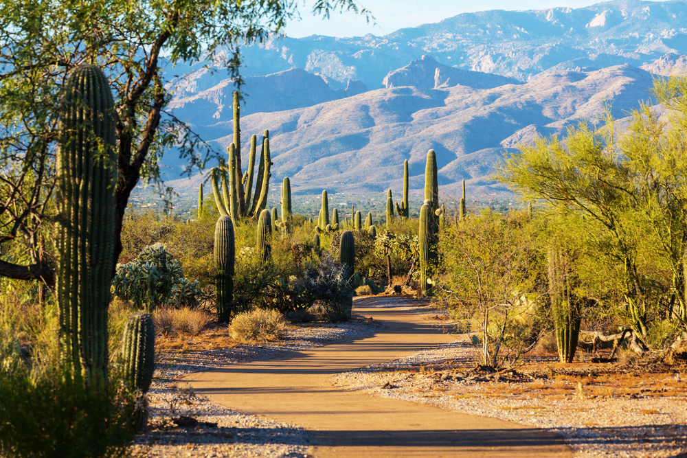
Terrain
High, rugged mountains; low coastal plains; high plateaus; desert
Elevation
Mean elevation: 1,111 m
Lowest point: Laguna Salada -10 m
Highest point: Volcan Pico de Orizaba 5,636 m
Natural Resources
Petroleum, silver, antimony, copper, gold, lead, zinc, natural gas, timber
Land Use
Agricultural land: 54.9% (2011 est.)
Arable land: 11.8% (2011 est.)
Permanent crops: 1.4% (2011 est.)
Permanent pasture: 41.7% (2011 est.)
Forest: 33.3% (2011 est.)
Other: 11.8% (2011 est.)
Irrigated land: 65,000 sq km (2012)
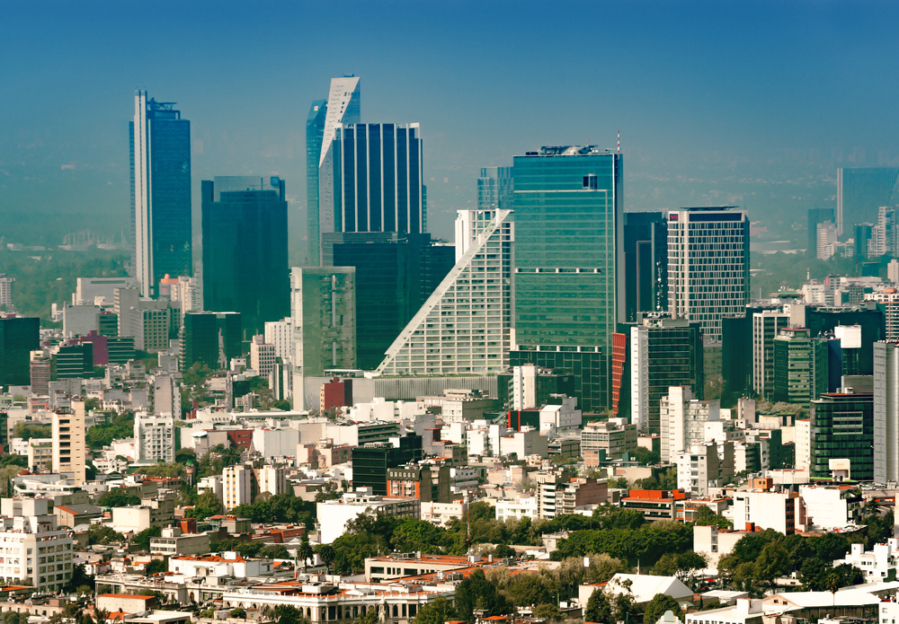
Population Distribution
Most of the population is found in the middle of the country between the states of Jalisco and Veracruz; approximately a quarter of the population lives in and around Mexico City
Natural Hazards
Tsunamis along the Pacific coast, volcanoes and destructive earthquakes in the center and south, and hurricanes on the Pacific, Gulf of Mexico, and Caribbean coasts
Volcanism: volcanic activity in the central-southern part of the country; the volcanoes in Baja California are mostly dormant; Colima (3,850 m), which erupted in 2010, is Mexico's most active volcano and is responsible for causing periodic evacuations of nearby villagers; it has been deemed a Decade Volcano by the International Association of Volcanology and Chemistry of the Earth's Interior, worthy of study due to its explosive history and close proximity to human populations; Popocatepetl (5,426 m) poses a threat to Mexico City; other historically active volcanoes include Barcena, Ceboruco, El Chichon, Michoacan-Guanajuato, Pico de Orizaba, San Martin, Socorro, and Tacana
Current Environmental Issues
Scarcity of hazardous waste disposal facilities; rural to urban migration; natural freshwater resources scarce and polluted in north, inaccessible and poor quality in center and extreme southeast; raw sewage and industrial effluents polluting rivers in urban areas; deforestation; widespread erosion; desertification; deteriorating agricultural lands; serious air and water pollution in the national capital and urban centers along US-Mexico border; land subsidence in Valley of Mexico caused by groundwater depletion
Note: The government considers the lack of clean water and deforestation national security issues
Notes
- Strategic location on southern border of US;
- Corn (maize), one of the world's major grain crops, almost certainly originated in Mexico;
- Mexico is one of the countries along the Ring of Fire, a belt of active volcanoes and earthquake epicenters bordering the Pacific Ocean, and up to 90% of the world's earthquakes and some 75% of the world's volcanoes occur within the Ring of Fire;
- The prominent Yucatan Peninsula that divides the Gulf of Mexico from the Caribbean Sea is shared by Mexico, Guatemala, and Belize. Just on the northern coast of Yucatan, near the town of Chicxulub (pronounce cheek-sha-loob), lie the remnants of a massive crater (some 150 km in diameter and extending well out into the Gulf of Mexico). Formed by an asteroid or comet when it struck the earth 66 million years ago, the impact is now widely accepted as initiating a worldwide climate disruption that caused a mass extinction of 75% of all the earth's plant and animal species—including the non-avian dinosaurs.
Article written for World Trade Press by CIA Factbook, Current as of 5 May, 2021.
Copyright © 1993—2024 World Trade Press. All rights reserved.