History: Antique Maps
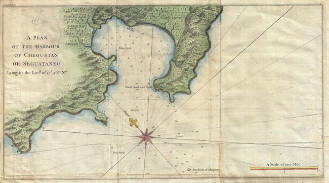
- Title: 1745 Map or Chart of Zihuatanejo Harbor, Mexico
- Description: An extremely attractive 1745 map of the Mexican harbor of Zihuatanejo Bay by George Anson. Today Zihuatanejo is a stunningly beautiful resort area on the Pacific in the state of Guerrero (about 250 km north of Acapulco). This area was originally named Cihuatlan in Aztec, which means “Place of Women”, referring to the matriarchal society that dominated the region in pre-Columbian times. Details the harbor beautifully showing mountains, waterways, and trees as well as offering detailed depth soundings and nautical references.
- Publisher: G. Anson
- Download: High-Res pdf
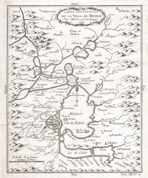
- Title: 1754 Map of Mexico City Environs
- Description: This beautiful little map of Mexico City was produced by the French Cartographer Jacques-Nicolas Bellin in 1754. Depicts the now non-extant Lake Texcoco upon which Mexico City was built. Extends as far north as Pachuca and as far south as San Augustin and Amecameca.
- Publisher: Jacques-Nicolas Bellin
- Download: High-Res pdf
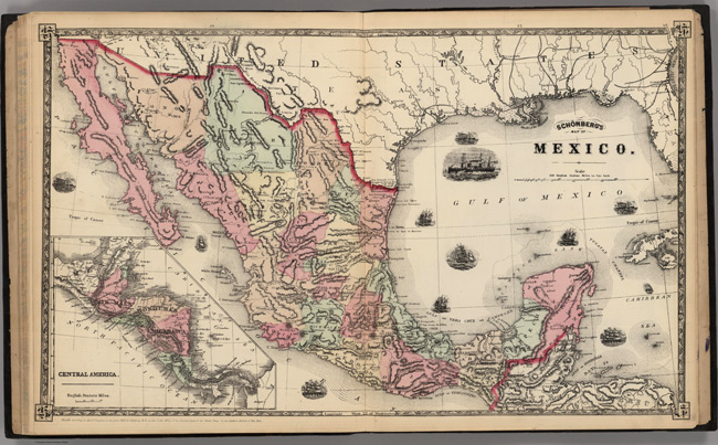
- Title: 1867 Map of Mexico
- Description: Counties shown in color. Prime meridians Washington D.C. and Greenwich. Relief shown by hachures. Inset of Central America at scale 1:10,973,000. Includes eleven vignettes of ships.
- Publisher: Schonberg & Co
- Download: High-Res pdf
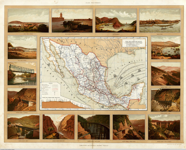
- Title: 1885 Map of Vias de Comunicacion y Movimiento Maritimo
- Description: Map highlighting transportation and communication systems for the country. Full color drawings of train tracks, ports, and numerous bridges.
- Publisher: Debray Sucesores
- Download: High-Res pdf
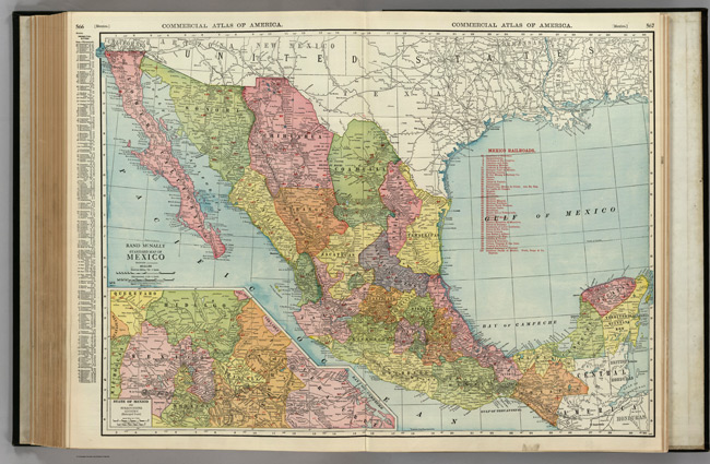
- Title: 1924 Map of Mexico
- Description: Shows railroads and distances. Includes table of railroads and principal cities keyed to map. Inset at scale 1:1,521,000. Relief shown by hachures. States colored.
- Publisher: Rand McNally and Company
- Download: High-Res pdf
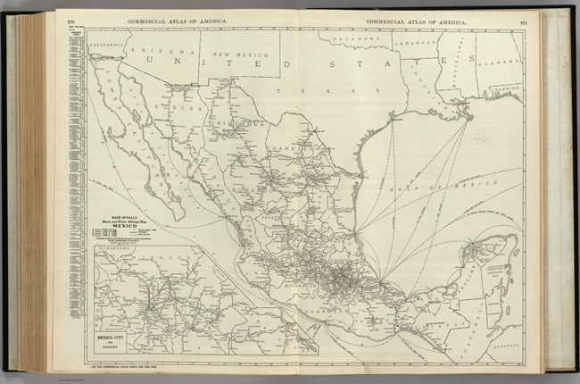
- Title: 1924 Map of Mexico with Mexico City and Vicinity
- Description: Shows railroads and distances. Includes list of principal cities keyed to map.
- Publisher: Rand McNally and Company
- Download: High-Res pdf
Copyright © 1993—2024 World Trade Press. All rights reserved.

 Mexico