 Mexico
 Geography: Rivers
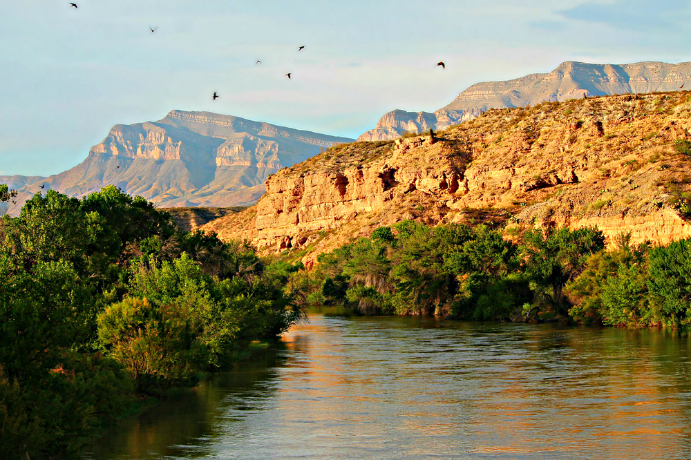
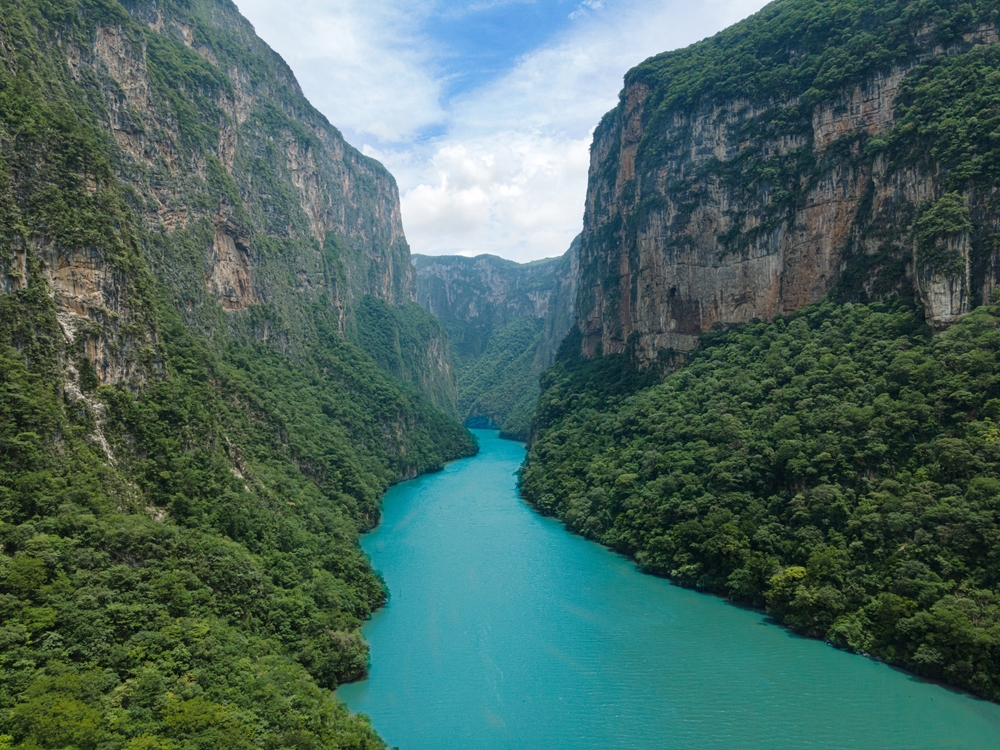
Mexico is traversed by a network of major rivers that are integral to its ecology, economy, and way of life. These rivers, including the Rio Grande, Rio Balsas, and Rio Grijalva, flow through varied terrains, from arid deserts to lush jungles, shaping the country's diverse ecosystems. They are crucial for Mexico’s agriculture, providing water for irrigation to support the cultivation of crops such as maize, beans, and tomatoes. These rivers also play a key role in the nation's water supply, hydroelectric power generation, and are vital for local fisheries. Beyond their practical importance, Mexican rivers are steeped in history and culture, featuring in ancient myths and legends, and continuing to be significant in the lives of many communities. The table below provides an overview of the major rivers in Mexico, detailing their lengths, sources, and outflows.
|
River Name |
Length* |
Source |
Outflow |
|
Rio Grande |
3,051 km (1,896 mi) |
San Juan Mountains, Colorado, USA |
Gulf of Mexico |
|
Rio Colorado |
1,450 km (901 mi) |
Confluence of Green and Grand Rivers |
Gulf of California (Sea of Cortez) |
|
Rio Balsas |
771 km (479 mi) |
Puebla, Mexico |
Pacific Ocean |
|
Rio Pánuco |
772 km (480 mi) |
Mexico's Trans-Mexican Volcanic Belt |
Gulf of Mexico |
|
Rio Usumacinta |
970 km (602 mi) |
Guatemala and Chiapas, Mexico |
Gulf of Mexico |
|
Rio Grijalva |
480 km (298 mi) |
Chiapas, Mexico |
Gulf of Mexico |
|
Rio San Juan |
390 km (242 mi) |
Sierra Madre Occidental, Mexico |
Pacific Ocean |
|
Rio Coatzacoalcos |
365 km (227 mi) |
Eastern Sierra Madre, Veracruz, Mexico |
Gulf of Mexico |
|
Rio Papaloapan |
371 km (230 mi) |
Oaxaca, Mexico |
Gulf of Mexico |
|
Rio Yaqui |
320 km (199 mi) |
Sierra Madre Occidental, Mexico |
Gulf of California (Sea of Cortez) |
*Sources do not differentiate between the length of river that exists within the country’s borders and the overall length of the river irrespective of national borders.
Copyright © 1993—2024 World Trade Press. All rights reserved.