Geography: Lakes
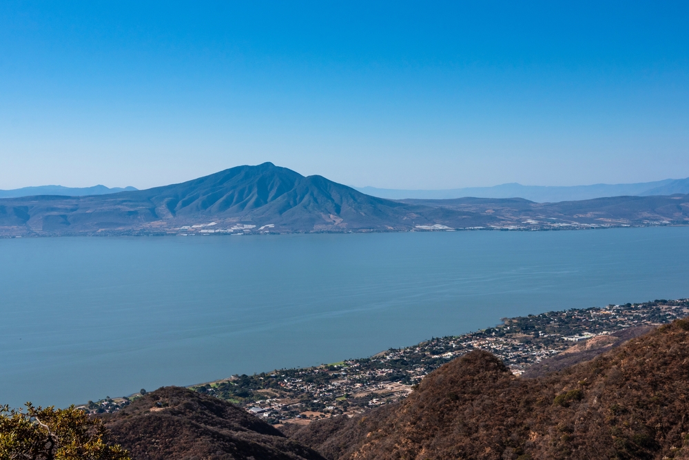
Mexico, a country with a rich tapestry of cultures and diverse landscapes ranging from deserts to rainforests, is home to numerous significant lakes, each with unique ecological and cultural attributes. Among these, Lake Chapala, the largest freshwater lake in Mexico, stands out for its importance to local biodiversity and as a vital resource for surrounding communities.
Lake Cuitzeo, once the country's second-largest lake, averaging 410 square kilometers (158 square miles), dried up in 2021. Factors in its demise include the construction of Cointzio Dam in 1941, the building of two highways that divided the lake into three parts, drought, and the dumping into the lake of agricultural and industrial waste. The following table provides an overview of Mexico's major lakes, focusing on key aspects such as the lake's surface area, its elevation above sea level, its primary water source, and the nature of its outflow.
|
Lake Name |
Area |
Elevation |
Water Source |
Outflow |
|
Lake Chapala |
1,080 km² |
1,524 m |
Lerma River |
Santiago River |
|
Lake Sayula |
168 km² |
1,350 m |
Rivers and springs; rainfall |
Evaporation |
|
Lake Pátzcuaro |
129 km² |
2,035 m |
Area watershed; rainfall |
N/A (endorheic) |
|
Lake Catemaco |
72 km² |
340 m |
Grande de Catemaco River; several tributaries; groundwater; rainfall |
Grande de Catemaco River; evaporation; ground fissures |
|
Lake El Salto |
68 km² |
165 m |
Elota River |
N/A (artificial) |
|
Lake Bacalar |
42 km² |
0 m |
Underground rivers |
Hondo River |
|
Lake Chichancanab |
30 km² |
36 m |
Rainfall |
Evaporation |
|
Lake Xochimilco |
26 km² |
2,240 m |
Lake Huetzalin; rainfall; treated wastewater |
N/A (endorheic) |
|
Lake Cajititlán |
17 km² |
1,550 m |
Streams; rainfall |
N/A (endorheic) |
|
Lake Zirahuén |
9.7 km² |
2,075 m |
Balsas River basin |
N/A (endorheic) |
Copyright © 1993—2024 World Trade Press. All rights reserved.

 Mexico
